From the air

DJI Enterprise

Measure and map from the air

Drones, payloads and software for mapping, LiDAR, inspection, and search and rescue.

View products35 products

Drones

Aircraft for mapping, inspection and heavy payload work.

See all (5)
  • Drones

    DJI Matrice 4E

    The DJI Matrice 4E is a compact, foldable professional drone for survey mapping, 3D modeling and inspection of buildings and structures. Its three-camera system, laser rangefinder and smart oblique capture make field work much faster.
  • Drones

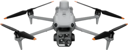
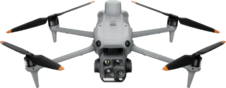
    DJI Matrice 4T

    The DJI Matrice 4T is a compact, foldable professional drone for search and rescue, fire monitoring, public safety and inspection. With wide, tele and thermal cameras and a laser rangefinder, it works effectively day or night.

  • NewDrones

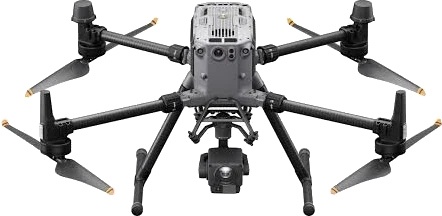
    DJI Matrice 400

    The DJI Matrice 400 is the flagship of DJI's Enterprise range and the successor to the Matrice 350 RTK. It flies for up to 59 minutes, carries up to 6 kg and is rated IP55. Built for rescue work, power line inspection, mapping and construction.

  • Drones

    DJI Matrice 350 RTK

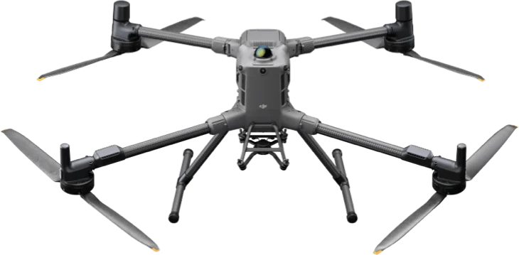
    The DJI Matrice 350 RTK succeeds the Matrice 300 RTK as a reliable, versatile drone in DJI's Enterprise range. It offers long flight times, multi-payload support and IP55 protection, and is widely used for power line inspection, rescue work, mapping, and construction and infrastructure.

  • Drones

    DJI Mavic 3M

    The DJI Mavic 3M (Mavic 3 Multispectral) is a compact multispectral drone for agriculture and crop monitoring. An RGB camera and four multispectral cameras let it assess crop health and fertility differences across a field in detail. Suited to yield management, vegetation cover monitoring and smart farming.

Payloads

Cameras, LiDAR, a spotlight and a speaker for Matrice drones.

See all (10)
  • Payloads

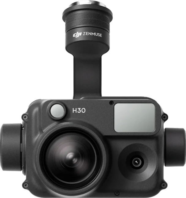
    DJI Zenmuse H30

    The DJI Zenmuse H30 is an all-weather multi-sensor camera for Matrice-series drones. A wide camera, a high-resolution zoom camera, a laser rangefinder and an NIR auxiliary light are combined in one unit. Built for inspection, search and rescue, and public safety.

  • Payloads

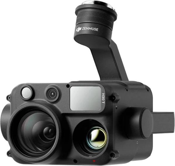
    DJI Zenmuse H30T

    The DJI Zenmuse H30T is the flagship five-module, all-weather camera for Matrice-series drones. A wide camera, zoom camera, thermal camera, laser rangefinder and NIR auxiliary light are combined in one unit. Built for search and rescue, fire monitoring, power line inspection and public safety.

  • Payloads

    DJI Zenmuse S1

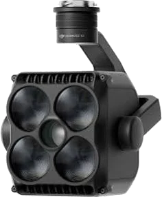
    The DJI Zenmuse S1 is DJI's first spotlight, built for multi-payload Matrice-series drones. LEP technology gives it high brightness and long reach. Made for night search and rescue, public safety and inspection.

  • Payloads

    DJI Zenmuse V1

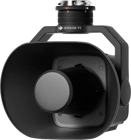
    The DJI Zenmuse V1 is DJI's first speaker, built for multi-payload Matrice-series drones. It turns the drone into an airborne public address system that carries clear, loud sound over a wide area. Made for rescue work, emergencies and public safety.

  • NewPayloads

    DJI Zenmuse L3

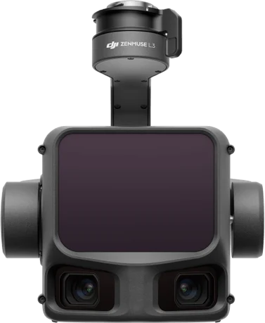
    The DJI Zenmuse L3 is DJI's first long-range, high-accuracy aerial LiDAR system, mounted on the Matrice 400. It combines a 1535 nm LiDAR, dual 100 MP RGB mapping cameras and a precise POS system in one unit. Built for survey mapping, topography, infrastructure surveys and digital twins.

  • Payloads

    DJI Zenmuse L2

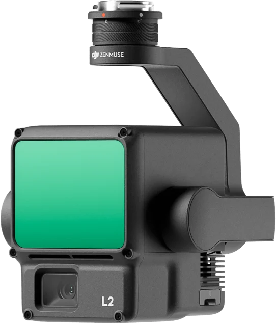
    The DJI Zenmuse L2 combines a LiDAR module, a high-accuracy IMU and a 4/3 CMOS RGB mapping camera in one payload for survey and mapping. It reaches 5 cm horizontal and 4 cm vertical accuracy at 150 m and covers 2.5 km² in a single flight. It mounts on the Matrice 400 and Matrice 350 RTK.

  • Payloads

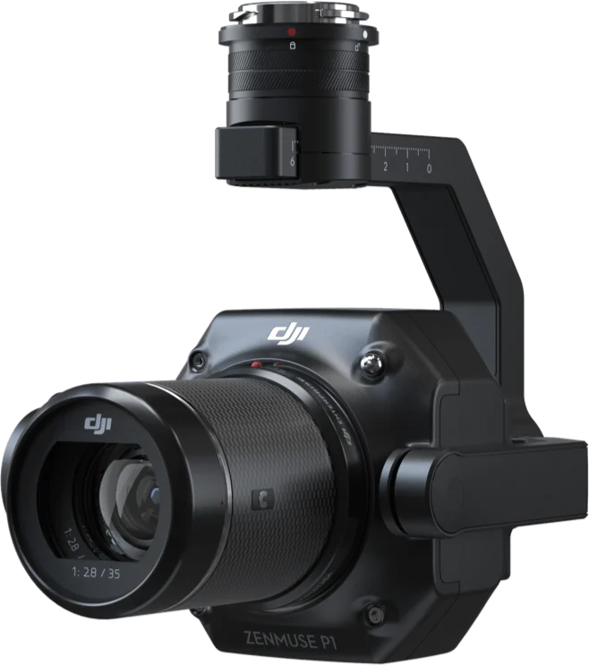
    DJI Zenmuse P1

    The DJI Zenmuse P1 is a photogrammetry camera with a 45 MP full-frame sensor, interchangeable lenses and a 3-axis stabilized gimbal. It reaches 3 cm horizontal and 5 cm vertical accuracy without ground control points and maps 3 km² in a single flight. Built for high-accuracy orthophotos and 3D models in cadastre, construction and mining.

  • Payloads

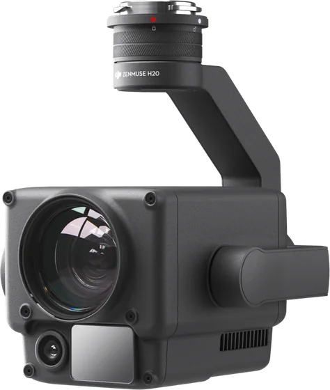
    DJI Zenmuse H20

    The DJI Zenmuse H20 is a hybrid payload that combines a 20 MP zoom camera, a 12 MP wide camera and a laser rangefinder that measures up to 1200 m. With 23× hybrid optical zoom and up to 200× zoom, it shows distant targets in detail. Built for inspection, search and rescue and public safety.

  • Payloads

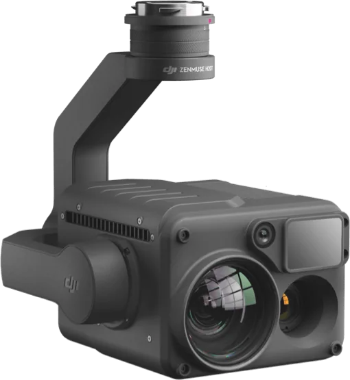
    DJI Zenmuse H20T

    The DJI Zenmuse H20T adds a 640 × 512 radiometric thermal camera to the H20's zoom camera, wide camera and laser rangefinder, making four sensors in one. It finds people, animals, fire spots and overheating even in darkness and measures temperature. Built for search and rescue, firefighting, and power line and solar farm inspection.

  • Payloads

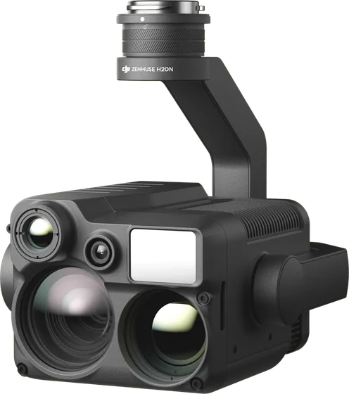
    DJI Zenmuse H20N

    The DJI Zenmuse H20N is built for night work: starlight-sensor zoom and wide cameras, two thermal cameras and a laser rangefinder in one payload. It gives clear images in low light and finds people and fire spots with its thermal cameras. Made for night search and rescue, patrol and public safety.

Docks

Docks that store, charge and launch drones on schedule with no pilot on site.

See all (1)
  • NewDocks

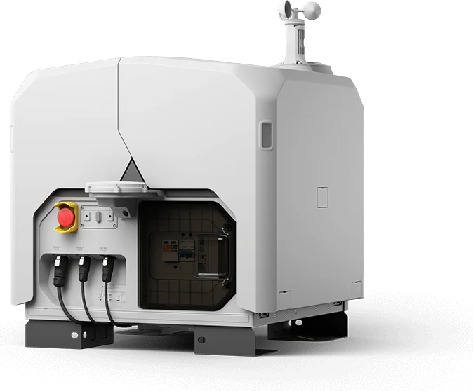
    DJI Dock 3

    DJI Dock 3 stores, charges and launches the Matrice 4D or Matrice 4TD for 24/7 scheduled flights with no pilot on site. It is DJI's first dock that can be vehicle-mounted, is rated IP56 and works down to −30 °C. Built for daily monitoring of mines, construction sites and substations, and for emergency work.

Software

Fly, manage fleets, turn images into maps and edit 3D models.

See all (7)
  • Software

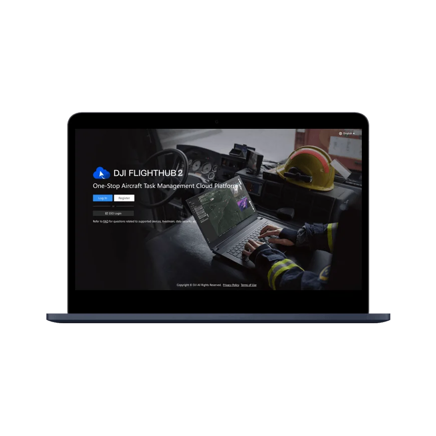
    DJI FlightHub 2

    DJI FlightHub 2 is a cloud platform for managing drones and DJI Docks in one place, monitoring them remotely in real time, and collecting and processing flight data. Built for organizations with many drones, operators and sites, it is widely used for rescue work, inspection, mapping and public safety.

  • Software

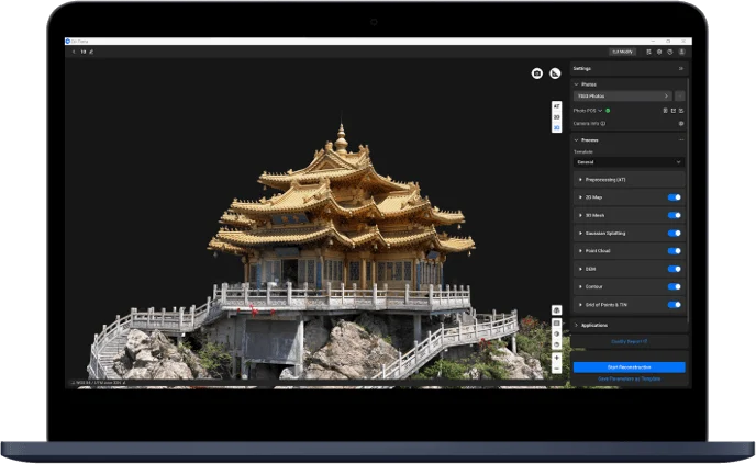
    DJI Terra

    DJI Terra is professional PC software for planning flights and processing data captured by DJI drones. It brings 2D mapping, 3D models, LiDAR point clouds, multispectral mapping and power line inspection together in one program. Built for surveying, agriculture, construction, energy and mining.

  • Software

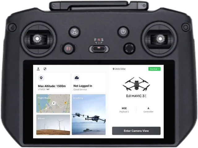
    DJI Pilot 2

    DJI Pilot 2 is the main flight app for DJI Enterprise drones. It brings aircraft and payload control, mission planning, live video and flight safety monitoring onto one screen, and comes preinstalled on the controllers of the Matrice, Mavic 3 Enterprise and other series.

  • Software

    DJI Modify

    DJI Modify is DJI's first smart 3D model editing software. It opens 3D models made in DJI Terra in one click to fix flaws, clean them up and share them. Even professionals with no 3D software experience pick it up quickly.

  • Software

    DJI GS Pro

    Ground Station Pro plans automated flights on iPad for compatible DJI aircraft. Define survey areas, waypoints and camera actions for repeatable aerial capture.

Accessories

RTK stations for centimeter positioning.

See all (12)
  • NewAccessories

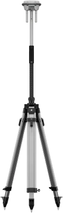
    DJI D-RTK 3

    The DJI D-RTK 3 is a multifunctional GNSS station that gives DJI drones centimeter-accurate positioning. It works in three modes: base station, relay station and rover. Built for survey mapping, long-range drone operations and GCP measurement.

  • NewAccessories

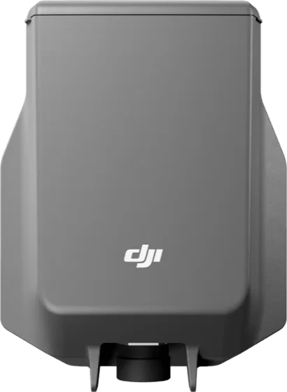
    DJI AP100 Parachute

    The DJI AP100 is a safety parachute for the Matrice 400. If the flight fails it opens automatically or on command and brings the drone down at no more than 5 m/s. Built for safer flights near people and structures.

  • NewAccessories

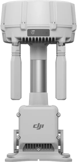
    DJI O4 Ground Station

    The DJI O4 Ground Station is a ground station for O4 Enterprise Enhanced video transmission. It reaches 40 km with the Matrice 400 and 30 km with other drones, and works as a relay for the DJI Dock 3. Rated IP67, working down to −40 °C and powered over Ethernet, it suits permanent installations.

  • NewAccessories

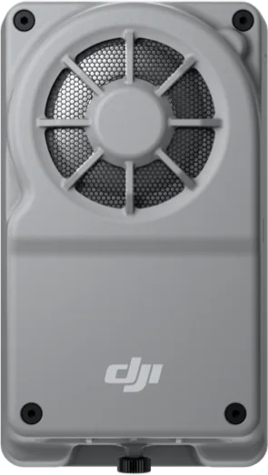
    DJI Manifold 3

    DJI Manifold 3 is an onboard computer with up to 100 TOPS of AI compute for Matrice 400, Matrice 4 and Matrice 4D series drones. Run your own AI models and applications on the drone and process data during the flight.

  • NewAccessories

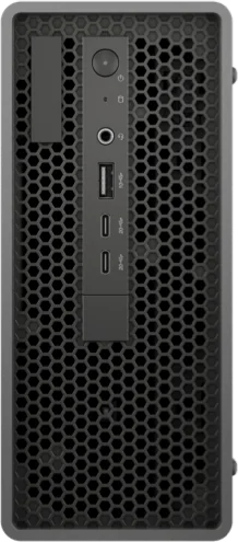
    DJI FlightHub 2 AIO

    DJI FlightHub 2 AIO is a ready-to-run server with the FlightHub 2 On-Premises platform and a modeling module pre-installed. Manage DJI Docks and drones on your own network and keep the data in-house. One unit connects up to 20 devices.

  • Accessories

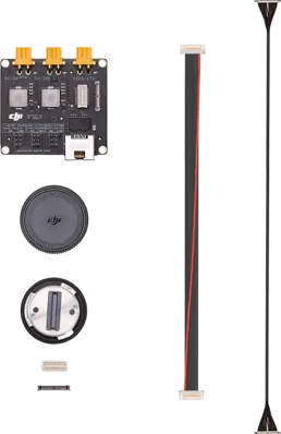
    DJI Payload SDK Development Kit 2.0

    The Payload SDK Development Kit 2.0 is a developer kit for connecting your own sensors, cameras and devices to DJI drones through the DJI SkyPort V2 and X-Port. Its adapter board takes third-party development boards directly and lowers development costs.

  • Accessories

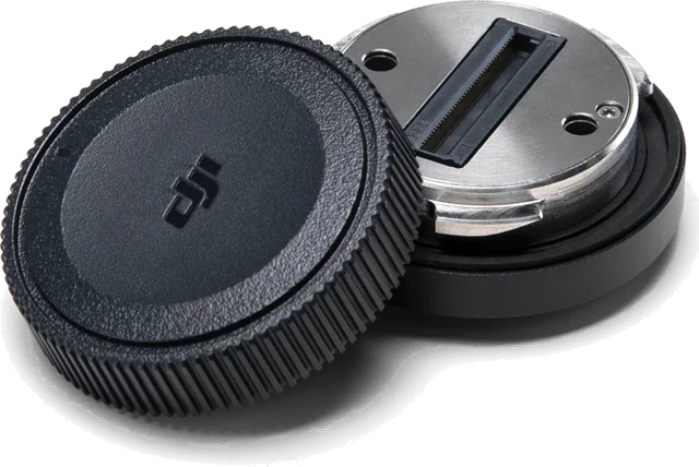
    DJI SkyPort V2

    DJI SkyPort V2 is a standard adapter that mounts your own payload on a DJI drone and carries power and communications between the two. A high-power mode delivers more power to the payload.

  • Accessories

    DJI X-Port

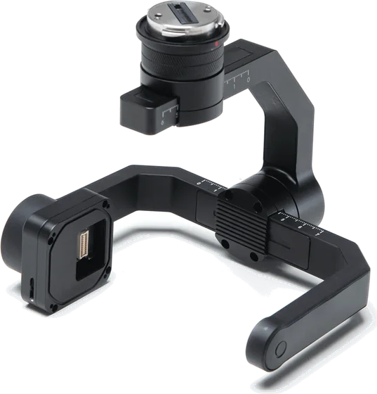
    DJI X-Port is a high-precision 3-axis gimbal that lets developers fit their own sensors to DJI drones quickly. Stabilization, communications and power are ready, so you only develop the sensor.

Talk to a sales engineer

We help you choose equipment and arrange quotes, demo flights, operator training and service.

Request a quote

Leave your number and a sales engineer will call with pricing and training details.

We only use your details to answer this request.