
Software

Fly, manage fleets, turn images into maps and edit 3D models.

7 products

  • Software

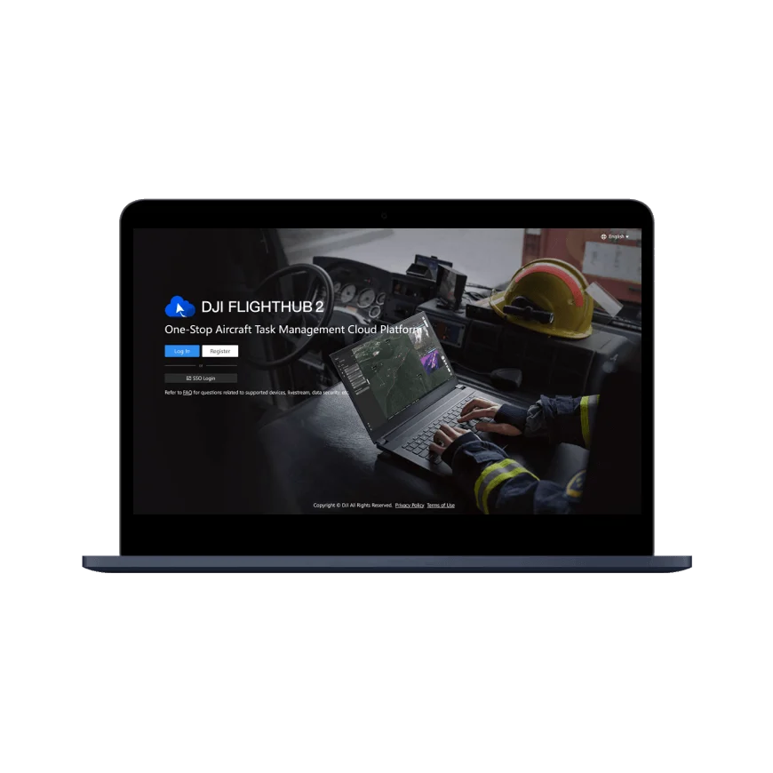
    DJI FlightHub 2

    DJI FlightHub 2 is a cloud platform for managing drones and DJI Docks in one place, monitoring them remotely in real time, and collecting and processing flight data. Built for organizations with many drones, operators and sites, it is widely used for rescue work, inspection, mapping and public safety.
  • Software

    DJI Terra

    DJI Terra is professional PC software for planning flights and processing data captured by DJI drones. It brings 2D mapping, 3D models, LiDAR point clouds, multispectral mapping and power line inspection together in one program. Built for surveying, agriculture, construction, energy and mining.

  • Software

    DJI Pilot 2

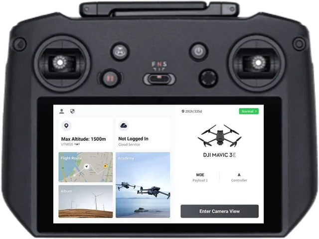
    DJI Pilot 2 is the main flight app for DJI Enterprise drones. It brings aircraft and payload control, mission planning, live video and flight safety monitoring onto one screen, and comes preinstalled on the controllers of the Matrice, Mavic 3 Enterprise and other series.

  • Software

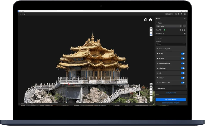
    DJI Modify

    DJI Modify is DJI's first smart 3D model editing software. It opens 3D models made in DJI Terra in one click to fix flaws, clean them up and share them. Even professionals with no 3D software experience pick it up quickly.

  • Software

    DJI GS Pro

    Ground Station Pro plans automated flights on iPad for compatible DJI aircraft. Define survey areas, waypoints and camera actions for repeatable aerial capture.

Talk to a sales engineer

We help you choose equipment and arrange quotes, demo flights, operator training and service.

Request a quote

Leave your number and a sales engineer will call with pricing and training details.

We only use your details to answer this request.