


Professional survey and mapping equipment

Official DJI and Trimble products, with quotes, training and service in one place.

Measure and map from the air

Drones, payloads and software for mapping, LiDAR, inspection, and search and rescue.

Precision on the ground

GNSS receivers, total stations, levels, laser scanners, field controllers and office software.

From the air

DJI section

DJI Enterprise

Drones, payloads and software for mapping, LiDAR, inspection, and search and rescue.

On the ground

Trimble section

Trimble

GNSS receivers, total stations, levels, laser scanners, field controllers and office software.

Explore the range

From aerial mapping to ground survey: every DJI Enterprise and Trimble solution in one place.

101 products
  • NewDrones

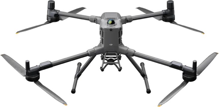
    DJI Matrice 400

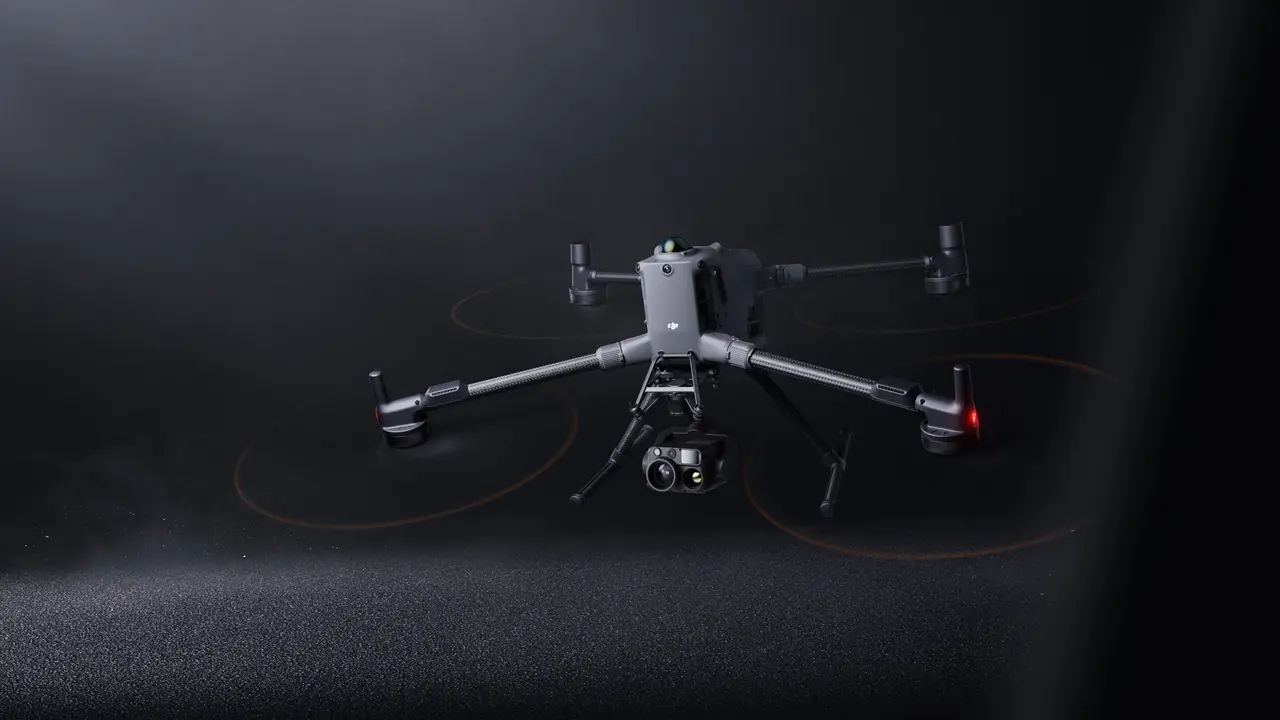
    The DJI Matrice 400 is the flagship of DJI's Enterprise range and the successor to the Matrice 350 RTK. It flies for up to 59 minutes, carries up to 6 kg and is rated IP55. Built for rescue work, power line inspection, mapping and construction.
  • Drones

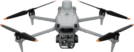
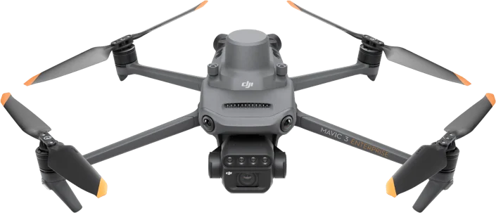
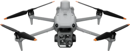
    DJI Matrice 4E

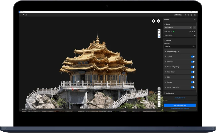
    The DJI Matrice 4E is a compact, foldable professional drone for survey mapping, 3D modeling and inspection of buildings and structures. Its three-camera system, laser rangefinder and smart oblique capture make field work much faster.

  • NewPayloads

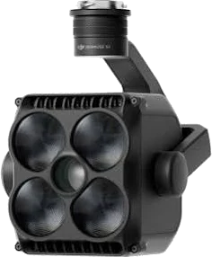
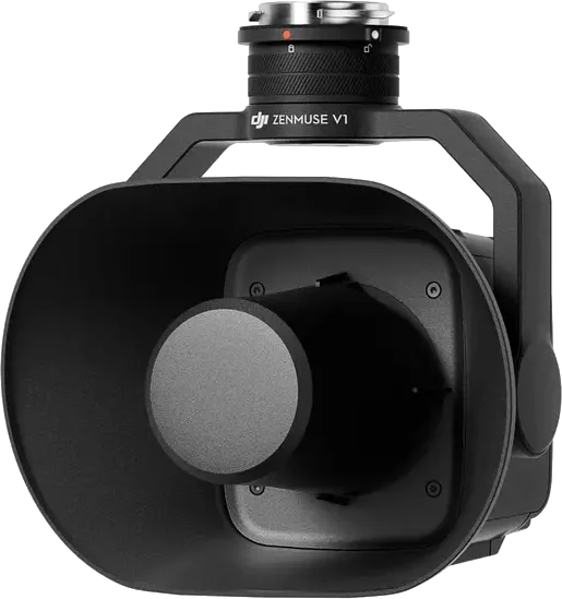
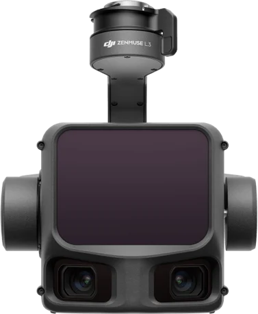
    DJI Zenmuse L3

    The DJI Zenmuse L3 is DJI's first long-range, high-accuracy aerial LiDAR system, mounted on the Matrice 400. It combines a 1535 nm LiDAR, dual 100 MP RGB mapping cameras and a precise POS system in one unit. Built for survey mapping, topography, infrastructure surveys and digital twins.

  • Drones

    DJI Matrice 4T

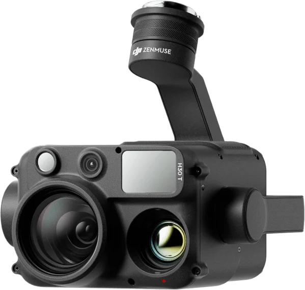
    The DJI Matrice 4T is a compact, foldable professional drone for search and rescue, fire monitoring, public safety and inspection. With wide, tele and thermal cameras and a laser rangefinder, it works effectively day or night.

  • NewGNSS receivers and radios

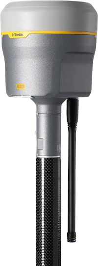
    Trimble R980

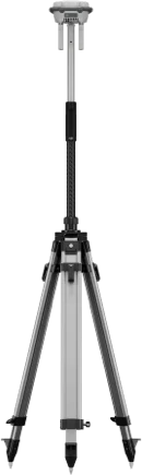
    Integrated GNSS system with Trimble ProPoint and TIP IMU tilt compensation (no need to level the pole), a 4G LTE modem, a 450/900 MHz radio and 672 channels. Light and compact.

  • GNSS receivers and radios

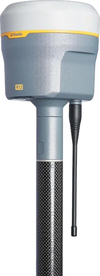
    Trimble R12

    672-channel GNSS system with Trimble ProPoint and Trimble 360 technology that works well in tough conditions such as under trees and between buildings. With SurePoint eBubble tilt compensation.

  • NewTotal stations and levels

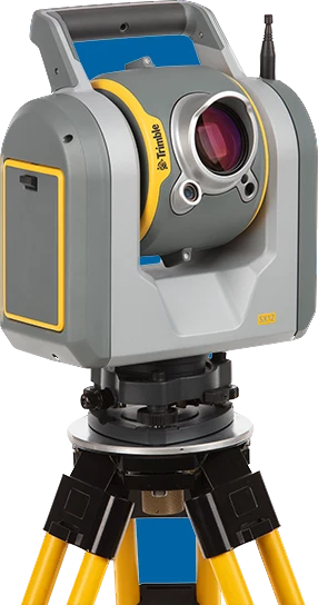
    Trimble SX12

    Scanning total station that combines a high-precision total station with a high-speed scanner. With Trimble Lightning 3DM, three calibrated VISION cameras and a focusable green laser pointer.

  • Total stations and levels

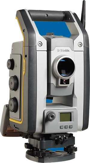
    Trimble S7

    Robotic total station that combines scanning, imaging (Trimble VISION) and surveying in one instrument. With SureScan, FineLock, DR Plus EDM and MagDrive servo technology.

DJI Enterprise

Matrice 400 and Zenmuse L3

A 1535 nm LiDAR on a 6 kg payload platform, measuring to 3 cm vertical accuracy from 120 m.

Flight time
59 min
Payload
6 kg
Protection
IP55
L3 range
950 m

Trimble

Trimble R980

Measure without levelling the pole, with calibration-free, magnetically immune TIP tilt compensation and the ProPoint engine.

RTK, horizontal
8 mm
GNSS channels
672
Weight
1.13 kg
Trimble R980

Kits for the job

Pick the kind of work; we list the aircraft, sensors and software that fit.

Survey and mapping

Orthophotos, 3D models and stockpile volumes.

Services

Talk to a sales engineer

We help you choose equipment and arrange quotes, demo flights, operator training and service.

Request a quote

Leave your number and a sales engineer will call with pricing and training details.

We only use your details to answer this request.