Total stations and levels
Trimble S9
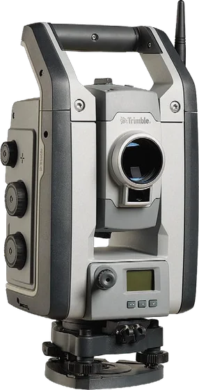
Robotic total station with 0.5" / 1" accuracy for specialised work such as monitoring and tunnelling. DR Plus (S9) or DR HP (S9 HP) EDM; FineLock, Long Range FineLock, and optional VISION and SureScan.
NewTrimbleTotal stations and levels
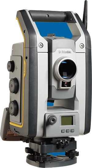
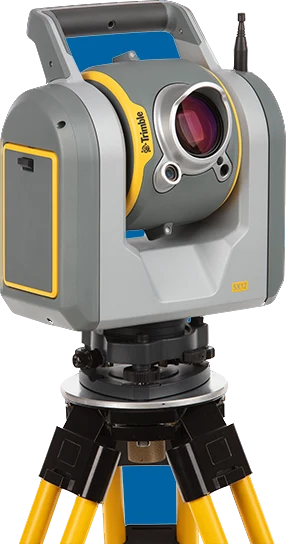
Scanning total station that combines a high-precision total station with a high-speed scanner. With Trimble Lightning 3DM, three calibrated VISION cameras and a focusable green laser pointer.
Made to order, 2–3 weeks
| Angle accuracy | 1" |
|---|---|
| Range (prism / reflectorless) | 5,500 m (1 prism) / 800 m (white card) |
| Battery life | 2.25 h (one internal battery); 7 h with 3+1 batteries |
| Weight | 7.5 kg |
| Distance accuracy | Prism 1 mm + 1.5 ppm; tracking 2 mm + 1.5 ppm; DR 2 mm + 1.5 ppm |
| Measuring time | Prism 1.6 s; DR 1.2 s |
| Scan rate | 26.6 kHz (26,600 pts/s); point spacing 6.25 / 12.5 / 25 / 50 mm at 50 m |
| Scan range | 0.9–600 m (white card); 0.9–350 m (grey card) |
| Range noise and 3D accuracy | 1.5 mm at 50–200 m; 2.5 mm at 300 m; 3D point accuracy 2.5 mm at 100 m |
| Scan time | Full dome (360° × 300°) 12 min; area scan (90° × 45°) 6 min |
| Cameras | 3 calibrated cameras (8.1 MP each); live view up to 15 fps; 107× zoom |
| Laser pointer | Green (520 nm); spot size 3 mm at 50 m, 6 mm at 100 m |
| Communications | Wi-Fi, Wi-Fi HaLow, 2.4 GHz radio, USB 2.0 |
| Protection, laser and temperature | IP55; EDM laser class 1M (1550 nm); operating −20 to +50 °C |
Topographic maps, orthophotos, 3D models, survey and stakeout.
Site surveys, progress tracking and stakeout for roads and buildings.
Stockpile volumes, mine surveys and open-pit monitoring.
Specifications and features translated into Mongolian, as a PDF.
Total stations and levels
Robotic total station with 0.5" / 1" accuracy for specialised work such as monitoring and tunnelling. DR Plus (S9) or DR HP (S9 HP) EDM; FineLock, Long Range FineLock, and optional VISION and SureScan.
Total stations and levels
Robotic total station that combines scanning, imaging (Trimble VISION) and surveying in one instrument. With SureScan, FineLock, DR Plus EDM and MagDrive servo technology.
Total stations and levels
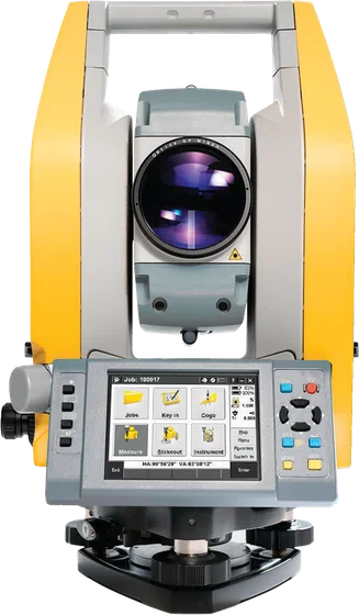
Mechanical total station with Trimble Access built in, colour touchscreens on both faces and autofocus. Track where it is with Trimble L2P.
Total stations and levels
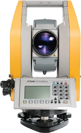
Lightweight mechanical total station with Nikon-optics autofocus, 1" / 2" / 3" / 5" versions and displays on both faces. Send survey data to a smartphone over Bluetooth.
We help you choose equipment and arrange quotes, demo flights, operator training and service.