Software
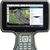
Trimble Access
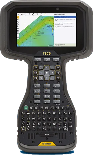
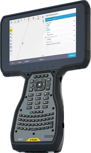
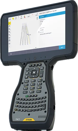
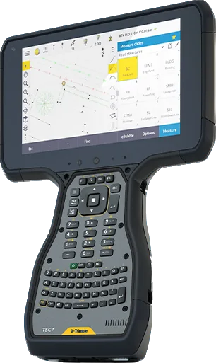
Trimble Access is the field software used by professional surveyors around the world. It brings GNSS, total station and scanner measurements into one job and simplifies data collection, stakeout and transfer to the office.
Field, office and cloud software for surveying, mapping, scanning, monitoring and mining.
37 products
Software
Trimble Access is the field software used by professional surveyors around the world. It brings GNSS, total station and scanner measurements into one job and simplifies data collection, stakeout and transfer to the office.
Software
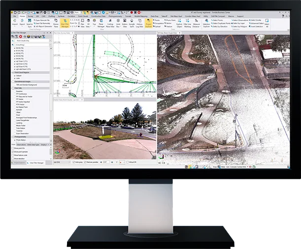
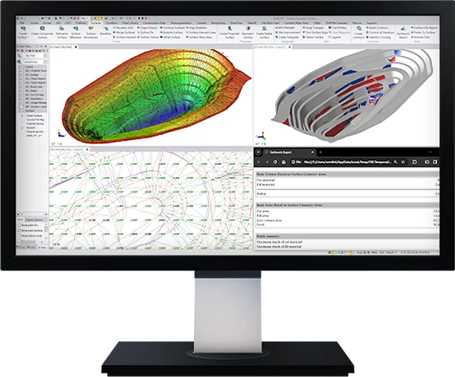
Trimble Business Center (TBC) is survey and construction office software that brings GNSS, total station, level, drone and laser scanner data together in one program, and takes it all the way from network adjustment to CAD drawings, surface models and volume reports.
Software
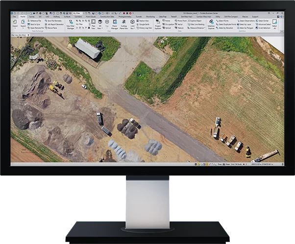
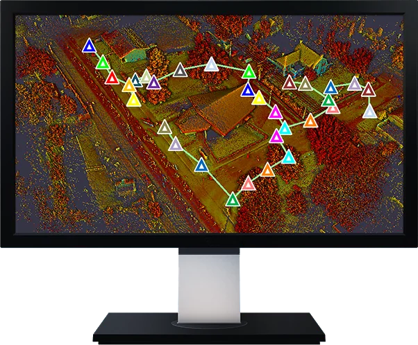
TBC Aerial Photogrammetry is the Trimble Business Center module that brings drone photogrammetry adjustments and deliverables into your existing survey workflow. Create survey-grade point clouds and orthophotos and combine them with GNSS, total station and scan data.
Software
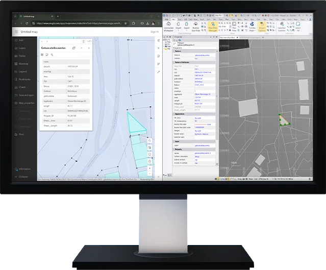
TBC GIS is the Trimble Business Center module that connects survey data directly to GIS systems such as Esri ArcGIS and exchanges data between survey and GIS without loss.
Software
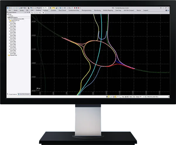
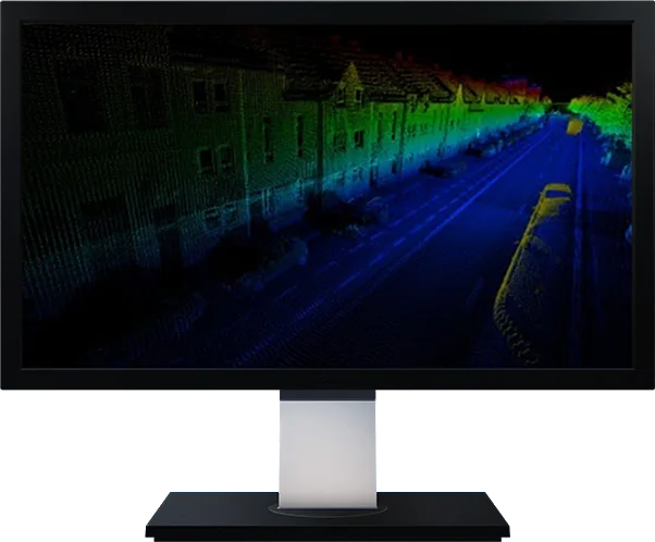
TBC Mobile Mapping is the Trimble Business Center module that combines raw positions, point clouds and camera images from Trimble MX mobile mapping systems into dense point clouds and image deliverables in one program.
Software
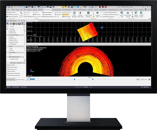
TBC Tunneling is the Trimble Business Center module for every stage of tunnel surveying and construction, from design and data preparation to underbreak, overbreak and shotcrete thickness reports.
Software
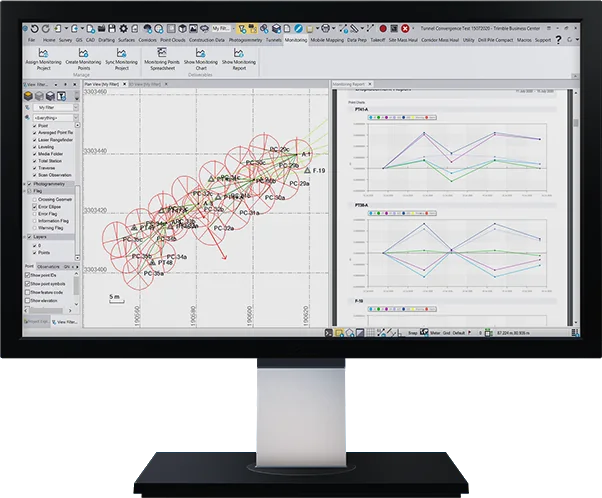
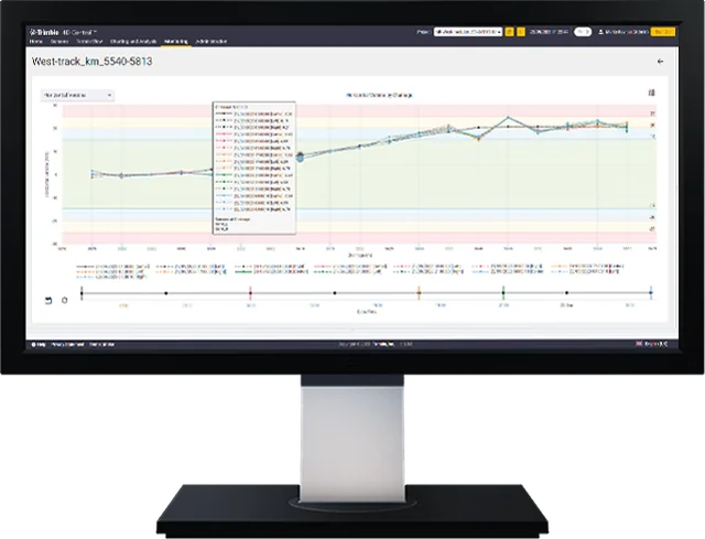
TBC Monitoring is the Trimble Business Center module that turns GNSS, total station and level measurements into deformation monitoring reports automatically, with designs, survey and monitoring data in one program.
Software
TBC Mining is the Trimble Business Center module for open-pit and underground mine and quarry surveying and planning: track stockpile volumes, progress and slope conformance and decide quickly.
Software
Trimble Access Roads is the Trimble Access module that defines, stakes and reports on roads, with a simple graphical interface that switches quickly between stakeout methods.
Software
Trimble Access Rail is a suite of railway track modules: stake out track with a total station or GNSS receiver, and measure track quality, as-built and precise installation with a track measurement trolley.
Software
Trimble Access Pipelines is the Trimble Access module that records pipe attributes and the relationships between welds and pipes, and links them to the measured welds in the pipeline survey.
Software
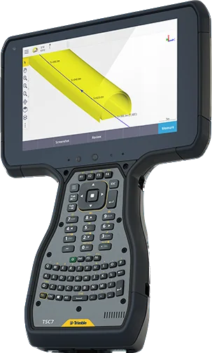
Trimble Access Tunnels is the Trimble Access module for tunnel surveying and construction: collect underbreak and overbreak profiles automatically with a total station and stake out rock bolts and blast holes.
Software
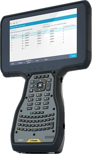
Trimble Access Monitoring is the Trimble Access module that automates repeated total station measurements for deformation monitoring and precise control.
Software
Trimble Access Mines is the Trimble Access module for underground mine surveying and reporting: auto-stake blast holes, collars and laser lines to position a drilling rig.
Software
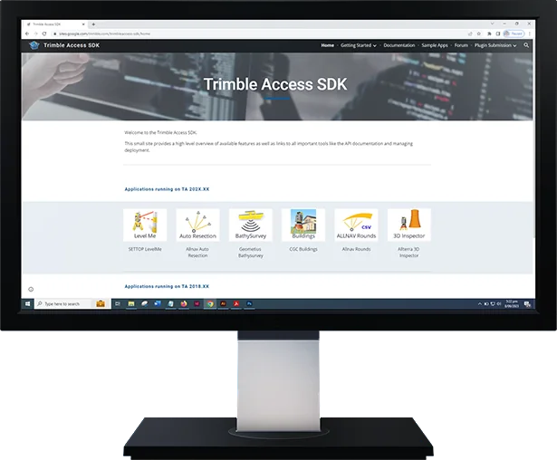
Trimble Access SDK is a framework that lets third-party developers add applications to Trimble Access, so specialized field workflows can be built and put to use faster.
Software
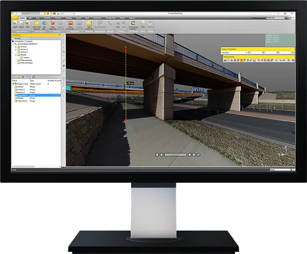
Trimble RealWorks is office software that registers, processes and analyses point clouds from 3D laser scanners and turns them into 3D deliverables. It handles large data sets from almost any scanner.
Software
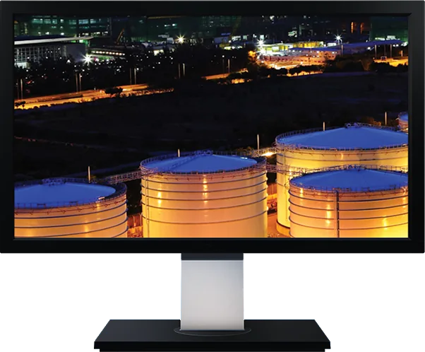
Trimble RealWorks Storage Tank is the RealWorks edition for precise storage tank inspection and calibration with laser scanning: faster, safer and more economical than traditional methods.
Software
Trimble Perspective is field software that controls Trimble X9 and X12 scanners and registers and georeferences the scans on site.
Software
Trimble Perspective Mobile is a free Android and iOS app that controls the Trimble X9 scanner from your phone, for quick scans even in hard-to-reach places.
Software
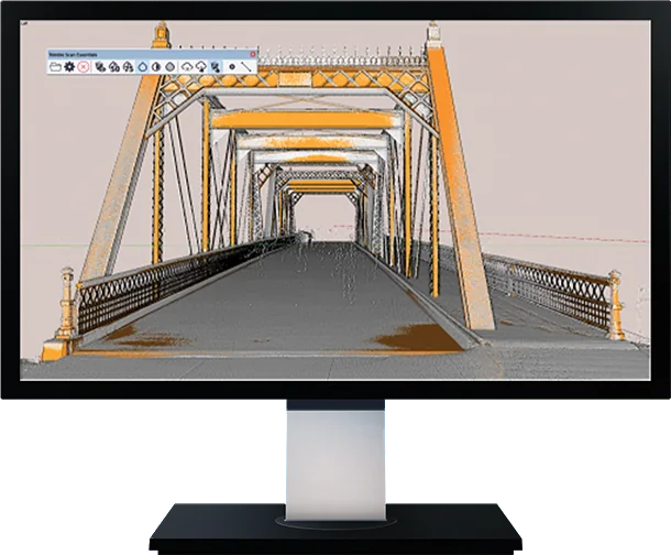
Trimble Scan Essentials is a SketchUp plug-in: import point clouds and snap to the points with native SketchUp tools to build 3D models quickly.
Software
Trimble Reality Capture is a platform service that stores, processes and shares large reality capture data sets such as laser scans and panoramic images in the cloud, through Trimble Connect.
Software
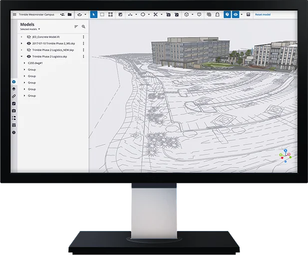
Trimble Connect is a cloud collaboration platform and common data environment (CDE) that connects everyone on a project. Share 2D and 3D models and field data and comment on them.
Software
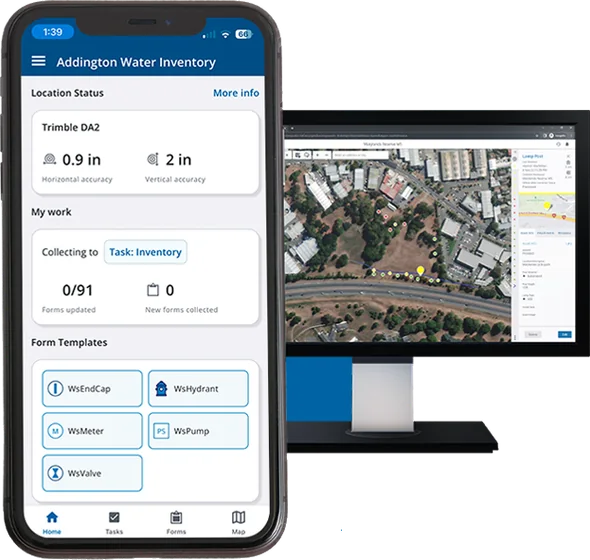
Trimble TerraFlex is field software for GIS data capture: build your own form templates, capture features with high-accuracy GNSS and sync with the office through the cloud.
Software
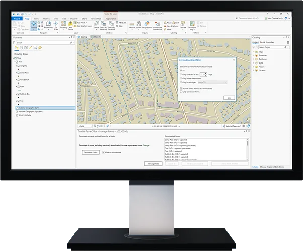
Trimble Terra Office is office software that brings high-accuracy TerraFlex data straight into GIS systems such as Esri ArcGIS.
Software
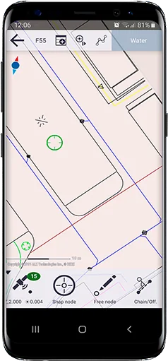
Trimble Penmap is an Android app for cadastral field surveying and high-accuracy GIS data collection, with a simple map-based interface and cloud sync through Trimble Connect.
Software
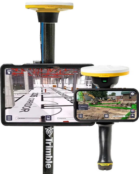
Trimble SiteVision uses augmented reality to show designs on site and documents progress with lidar scans and GNSS. It connects to a phone or tablet on a pole or handle.
Software
Trimble Inpho is an aerial photogrammetry suite with over 40 years of history, taking any aerial imagery project from aerial triangulation to dense point clouds, true orthophotos and 3D meshes.
Software
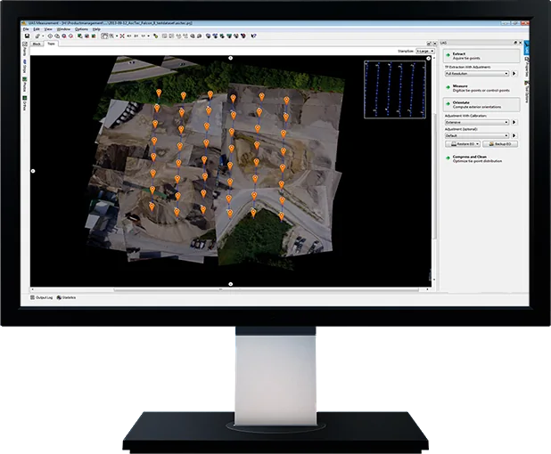
Trimble Inpho UASMaster processes drone and close-range imagery with the power of a photogrammetric workstation: image matching, dense point clouds, 3D meshes and orthophotos.
Software
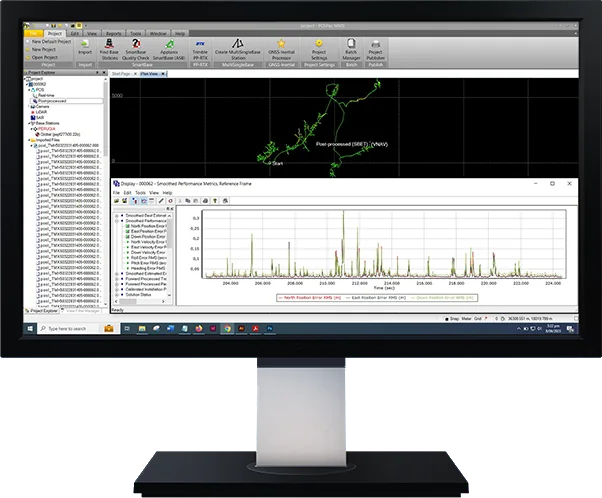
Applanix POSPac MMS is GNSS-aided inertial post-processing software for direct georeferencing of sensor data from mobile platforms, with postprocessed Trimble CenterPoint RTX.
Software
Trimble MX is office software that organizes large mobile mapping data sets, extracts features and measurements and shares the results with stakeholders.
Software
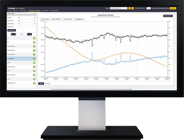
Trimble 4D Control (T4D) is automated movement detection software: manage geodetic, geotechnical and environmental sensors on one platform, analyse in real time and send alarms.
Software
Trimble 4D Control Rail automates track geometry monitoring: cant, twist and displacement are watched in real time, with alarms that follow rail authority standards.
Software
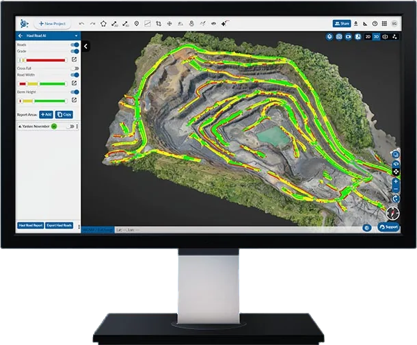
Trimble Mine Insights is AI-powered cloud analytics for mines and quarries: haul roads, fragmentation, slope stability and lithology in one application.
Software
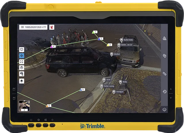
Trimble Forensics Capture is field software for gathering scene evidence: it controls Trimble GNSS, scanners and total stations and creates georeferenced point clouds.
Software
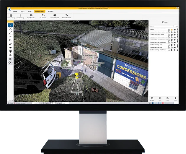
Trimble Forensics Reveal is office software that reconstructs scenes accurately in 2D and 3D and builds diagrams and animations.
Software
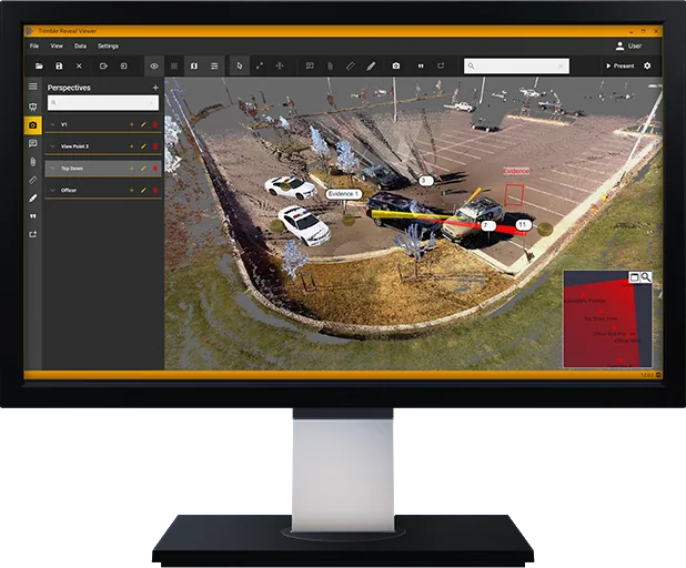
Trimble Forensics ShowCase presents scenes in court with custom, photo-realistic 360-degree renderings.
Software
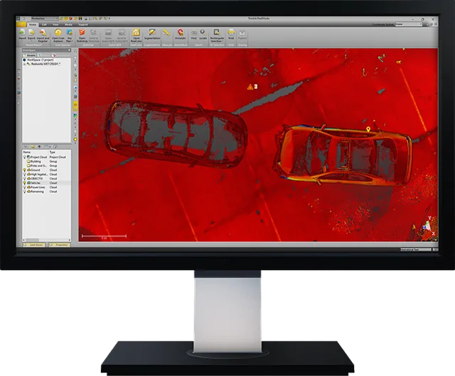
Trimble RealWorks Forensics is the RealWorks edition that registers, classifies and analyses scene point clouds, even for the largest and most complex scenes.
We help you choose equipment and arrange quotes, demo flights, operator training and service.