Software
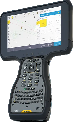
Trimble Access
Trimble Access is the field software used by professional surveyors around the world. It brings GNSS, total station and scanner measurements into one job and simplifies data collection, stakeout and transfer to the office.
TrimbleSoftware
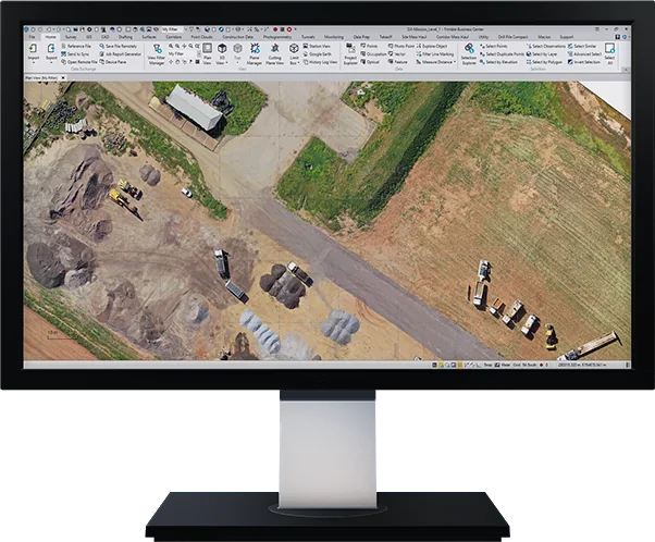
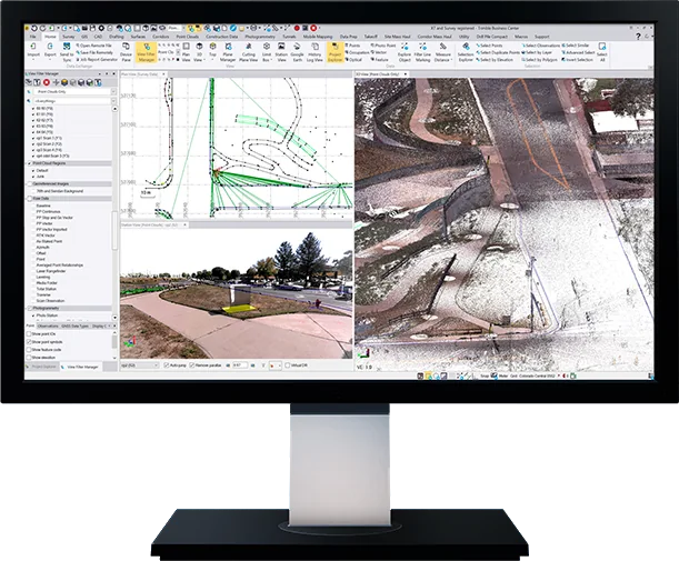
Trimble Business Center (TBC) is survey and construction office software that brings GNSS, total station, level, drone and laser scanner data together in one program, and takes it all the way from network adjustment to CAD drawings, surface models and volume reports.
Ask about licensing and setup
| Type | Survey and construction office software |
|---|---|
| Data | GNSS, total station, level, drone, laser scan, mobile mapping |
| Operating system | Microsoft Windows (64-bit) |
| Memory (RAM) | 4 GB or more (32 GB or more for drone and scan data) |
| Processor | Dual-core 1.8 GHz or better (quad-core 2.8 GHz or better for drone and scan data) |
| Hard disk | 10 GB free (500 GB SSD with 100 GB free for drone and scan data) |
| Graphics | DirectX 11, 512 MB or more; OpenGL 3.2+ for point clouds (8 GB, NVIDIA Quadro P4000 class for drone and scan data) |
| Display | 1280 × 1024 or higher |
| Connections | Trimble Access, Trimble Connect, Sync Manager, Trimble Clarity, Bentley ProjectWise |
| Languages | 18, including English, Russian, Chinese, Japanese and Korean |
Topographic maps, orthophotos, 3D models, survey and stakeout.
Site surveys, progress tracking and stakeout for roads and buildings.
Stockpile volumes, mine surveys and open-pit monitoring.
Cadastral mapping and land boundary surveys.
Specifications and features translated into Mongolian, as a PDF.
Software
Trimble Access is the field software used by professional surveyors around the world. It brings GNSS, total station and scanner measurements into one job and simplifies data collection, stakeout and transfer to the office.
Software
TBC Aerial Photogrammetry is the Trimble Business Center module that brings drone photogrammetry adjustments and deliverables into your existing survey workflow. Create survey-grade point clouds and orthophotos and combine them with GNSS, total station and scan data.
Software
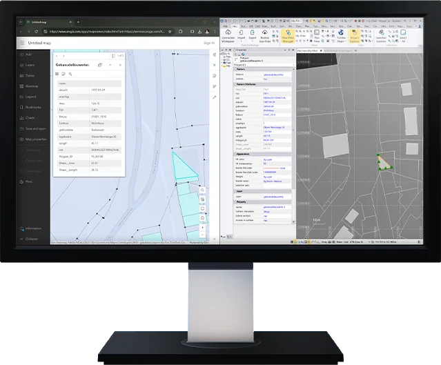
TBC GIS is the Trimble Business Center module that connects survey data directly to GIS systems such as Esri ArcGIS and exchanges data between survey and GIS without loss.
Software
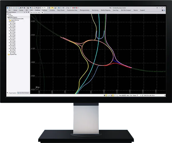
TBC Mobile Mapping is the Trimble Business Center module that combines raw positions, point clouds and camera images from Trimble MX mobile mapping systems into dense point clouds and image deliverables in one program.
We help you choose equipment and arrange quotes, demo flights, operator training and service.