
Software
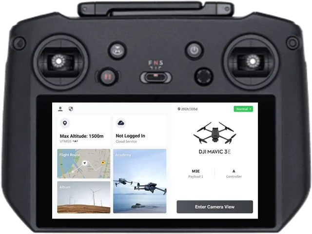
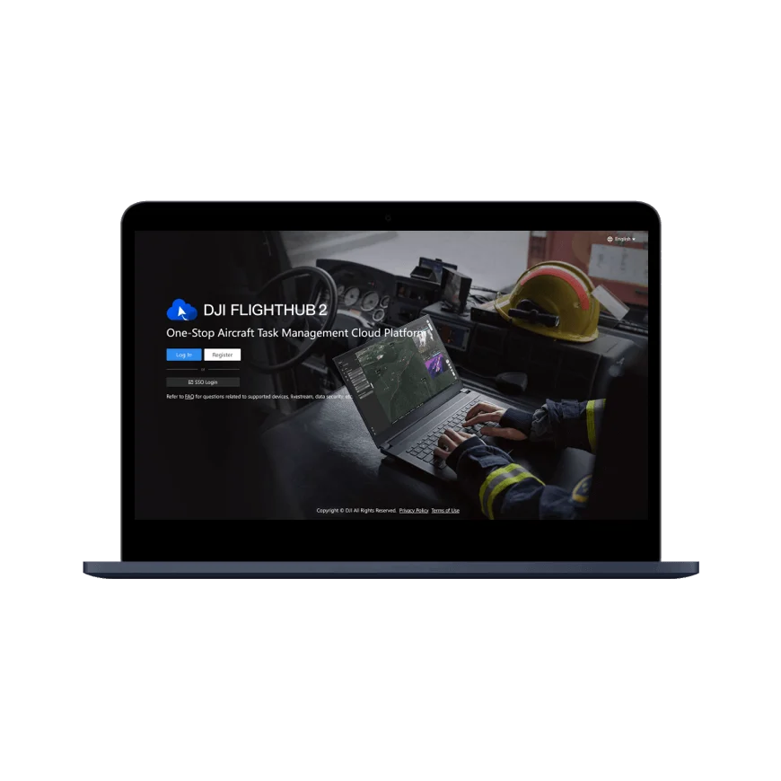
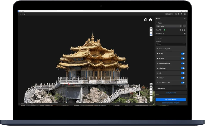
DJI Terra
DJI Terra is professional PC software for planning flights and processing data captured by DJI drones. It brings 2D mapping, 3D models, LiDAR point clouds, multispectral mapping and power line inspection together in one program. Built for surveying, agriculture, construction, energy and mining.