NewTotal stations and levels
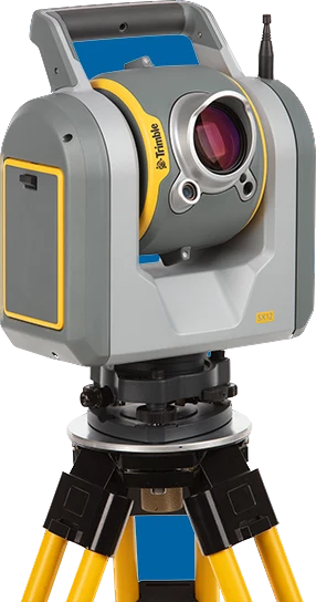
Trimble SX12
Scanning total station that combines a high-precision total station with a high-speed scanner. With Trimble Lightning 3DM, three calibrated VISION cameras and a focusable green laser pointer.
TrimbleTotal stations and levels
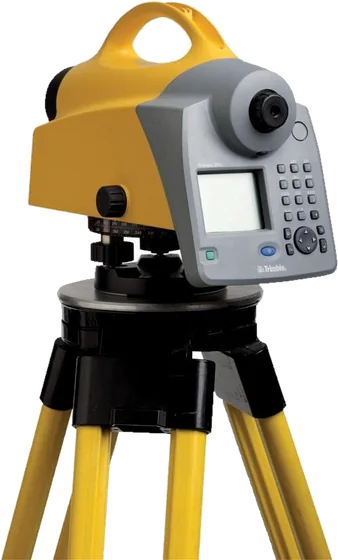
High-accuracy digital level with Carl Zeiss optics, in 0.3 mm/km and 0.7 mm/km models; it levels 60% faster than a conventional automatic level.
Made to order, 2–3 weeks
| Levelling accuracy | 0.3 mm/km or 0.7 mm/km (1 km double-run levelling) |
|---|---|
| Electronic measuring range | 1.5 m – 100 m |
| Battery life | 3 days (without illumination); Li-ion 7.4 V, 2.4 Ah |
| Weight | 3.5 kg (with battery) |
| Electronic height accuracy | Invar bar-code staff 0.3 mm (0.3 model) / 0.7 mm (0.7 model); standard staff 1.0 mm / 1.3 mm |
| Distance accuracy | At 20 m, Invar staff 20 mm / 25 mm; standard staff 25 mm / 30 mm |
| Measuring time | 3 s (0.3 model); 2 s (0.7 model) |
| Telescope | 32× (0.3 model) / 26× (0.7 model) magnification; 40 mm aperture; 2.2 m field of view at 100 m |
| Electronic measuring field | 0.3 m (uses just 30 cm of the staff) |
| Compensator | ±15' tilt range; setting accuracy ±0.2" (0.3 model) / ±0.5" (0.7 model) |
| Display and keypad | Monochrome graphic 240 × 160 pixels, backlit; 19-key keypad |
| Memory and transfer | 30,000 data lines; USB flash drive support; USB connection |
| Measuring programs | Single measurements (with or without station), stakeout, line levelling with intermediate sights, line adjustment; more levelling methods on the 0.3 model (BF, BFFB, BFBF, BBFF, FBBF) |
| Protection and temperature | IP55; operating −20 to +50 °C |
Topographic maps, orthophotos, 3D models, survey and stakeout.
Site surveys, progress tracking and stakeout for roads and buildings.
Stockpile volumes, mine surveys and open-pit monitoring.
Specifications and features translated into Mongolian, as a PDF.
NewTotal stations and levels
Scanning total station that combines a high-precision total station with a high-speed scanner. With Trimble Lightning 3DM, three calibrated VISION cameras and a focusable green laser pointer.
Total stations and levels
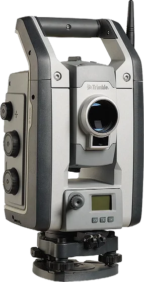
Robotic total station with 0.5" / 1" accuracy for specialised work such as monitoring and tunnelling. DR Plus (S9) or DR HP (S9 HP) EDM; FineLock, Long Range FineLock, and optional VISION and SureScan.
Total stations and levels
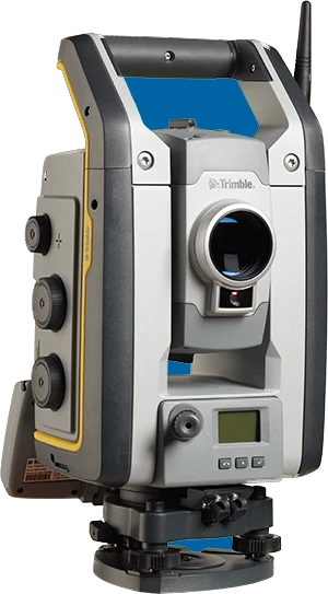
Robotic total station that combines scanning, imaging (Trimble VISION) and surveying in one instrument. With SureScan, FineLock, DR Plus EDM and MagDrive servo technology.
Total stations and levels
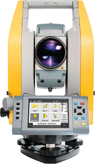
Mechanical total station with Trimble Access built in, colour touchscreens on both faces and autofocus. Track where it is with Trimble L2P.
We help you choose equipment and arrange quotes, demo flights, operator training and service.