Laser scanners
Trimble X12
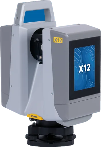
The Trimble X12 is a high-end 3D laser scanner that measures 2.18 million points per second at up to 365 m, with sharp HDR imagery and LED lighting; Trimble Perspective registers and checks scans on site.
TrimbleLaser scanners
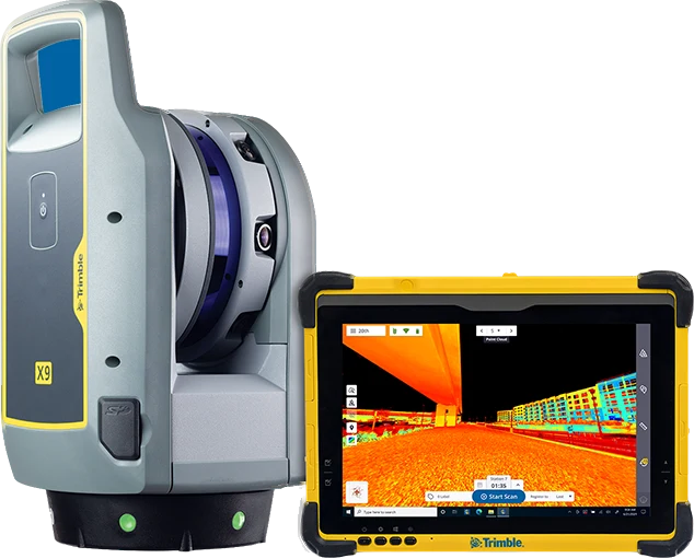
Mid-range 3D laser scanner with high accuracy and short scan times. X-Drive core unit, automatic calibration, self-levelling and HDR imaging. Available in Core and Premium versions.
Made to order, 2–3 weeks
| 3D point accuracy | 3.0 mm at 20 m (2.3 mm at 10 m) |
|---|---|
| Scan rate and range (Premium) | Up to 1,000 kHz · 0.6–150 m |
| Battery life | 3.5 h (per battery; 3 included); Li-ion 11.1 V, 6.5 Ah |
| Weight | 6.045 kg (with battery) |
| Range accuracy and noise | Range accuracy 2 mm; range noise < 1.5 mm at 30 m |
| Angular accuracy | < 16" |
| Versions | Premium 1,000 kHz, 0.6–150 m; Core 500 kHz, 0.6–80 m; Core LT 0.6–40 m |
| Field of view | 360° × 282° |
| Laser | Class 1 (1530–1570 nm, invisible); beam diameter 7.95 mm at 10 m; laser pointer class 2 (620–650 nm) |
| Scan time | Premium 1–6 min; Core 2–7 min (depending on the mode) |
| Cameras | 3 coaxial calibrated 10 MP cameras; imaging 1–2 min (HDR 3–6 min) |
| Self-levelling | Automatic; ±10° (survey grade), ±45° (coarse); accuracy < 3" |
| Communications | WLAN; Trimble Perspective (Windows tablet) or Perspective Mobile (Apple, Android) |
| Protection, size and temperature | IP55; 178 × 353 × 170 mm; operating −20 to +50 °C |
Site surveys, progress tracking and stakeout for roads and buildings.
Topographic maps, orthophotos, 3D models, survey and stakeout.
Inspection of power lines, substations, solar farms and industrial plants.
Specifications and features translated into Mongolian, as a PDF.
Laser scanners
The Trimble X12 is a high-end 3D laser scanner that measures 2.18 million points per second at up to 365 m, with sharp HDR imagery and LED lighting; Trimble Perspective registers and checks scans on site.
Laser scanners
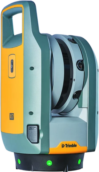
The Trimble X7 is an easy-to-use 3D laser scanner with automatic calibration, self-leveling, a laser pointer and on-site automatic registration: up to 500,000 points per second, 80 m range, full scans from 1 min 34 s without images.
We help you choose equipment and arrange quotes, demo flights, operator training and service.