GNSS receivers and radios
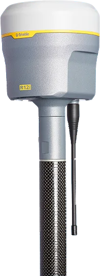
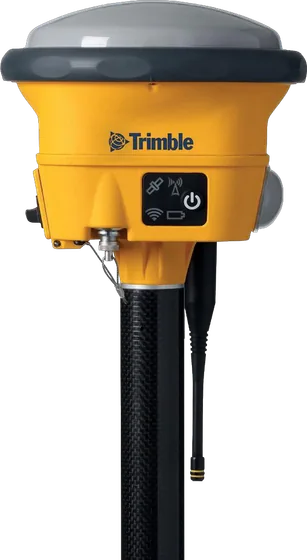
Trimble R12i
GNSS rover with calibration-free, magnetically immune tilt compensation and the ProPoint engine.
TrimbleGNSS receivers and radios
Integrated GNSS system for harsh conditions, rated IP68 and MIL-STD-810G (Model 2). With IMU-based Trimble Inertial Platform (TIP) tilt compensation. Available as base and rover, rover or base.
Made to order, 2–3 weeks
| RTK accuracy (H / V) | 8 mm + 1 ppm / 15 mm + 1 ppm |
|---|---|
| GNSS channels | 672 |
| Battery life | 5.5 h (rover, radio receive); swappable Li-ion |
| Weight | 1.55 kg (with battery and UHF antenna) |
| TIP tilt compensation | RTK + 3 mm + 0.15 mm/° of tilt (up to 40°) |
| Static accuracy | 3 mm + 0.1 ppm (H) / 3.5 mm + 0.4 ppm (V) |
| Network RTK | 8 mm + 0.5 ppm (H) / 15 mm + 0.5 ppm (V); initialization 2–8 s |
| CenterPoint RTX | 2 cm (H) / 3 cm (V); convergence < 1 min (RTX Fast regions), < 3 min (elsewhere) |
| Radio | Internal 450 MHz (410–473 MHz) or 450/900 MHz; transmit power 0.1 / 0.5 / 1.0 W; range 3–5 km |
| Communications | Wi-Fi (client / access point), Bluetooth, USB (RNDIS); cellular through an external device |
| Memory | 9 GB internal; position rates 1, 2, 5, 10, 20 Hz |
| Base station runtime | 450 MHz transmit ≈ 3.5–5 h; 900 MHz transmit ≈ 3.5 h; the internal battery acts as a UPS |
| Size | 13.9 cm × 13.0 cm (including connectors) |
| Protection and temperature | IP68 (1 m, 1 h); operating −40 to +65 °C; survives a 2 m pole drop onto concrete |
Topographic maps, orthophotos, 3D models, survey and stakeout.
Cadastral mapping and land boundary surveys.
Site surveys, progress tracking and stakeout for roads and buildings.
Stockpile volumes, mine surveys and open-pit monitoring.
Specifications and features translated into Mongolian, as a PDF.
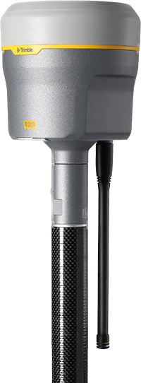
GNSS receivers and radios
GNSS rover with calibration-free, magnetically immune tilt compensation and the ProPoint engine.
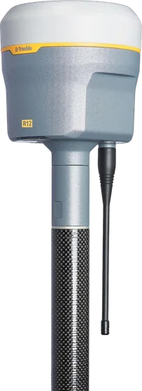
NewGNSS receivers and radios
Integrated GNSS system with Trimble ProPoint and TIP IMU tilt compensation (no need to level the pole), a 4G LTE modem, a 450/900 MHz radio and 672 channels. Light and compact.
GNSS receivers and radios
672-channel GNSS system with Trimble ProPoint and Trimble 360 technology that works well in tough conditions such as under trees and between buildings. With SurePoint eBubble tilt compensation.
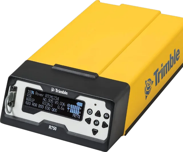
GNSS receivers and radios
Modular GNSS receiver for base stations (Model 2), with a 450/900 MHz UHF radio, a worldwide 4G LTE modem, Wi-Fi, Bluetooth, a four-line display and USB-C charging.
We help you choose equipment and arrange quotes, demo flights, operator training and service.